
Address and coordinates
The published address for the square is Sotomayor, Valparaíso, Chile. It is in the so-called "plan" of the city, the low, flat strip between the foot of the hills and the port edge.
The reference coordinates are −33.0385622, −71.6287555 (latitude, longitude). The Google Maps Plus code for the place is X96C+HF.
The Plus code X96C+HF lets you pinpoint the exact spot in Google Maps and in other apps that support it. Because the postal address of the square is generic, relying on the coordinates or on the central monument helps you avoid confusing it with other squares in the city. In practice, it is enough to search for 'Plaza Sotomayor, Valparaíso' in the map app and check that the point falls opposite the pier. When addresses are generic, verifying the location before setting off saves detours.
How to place it on the plan
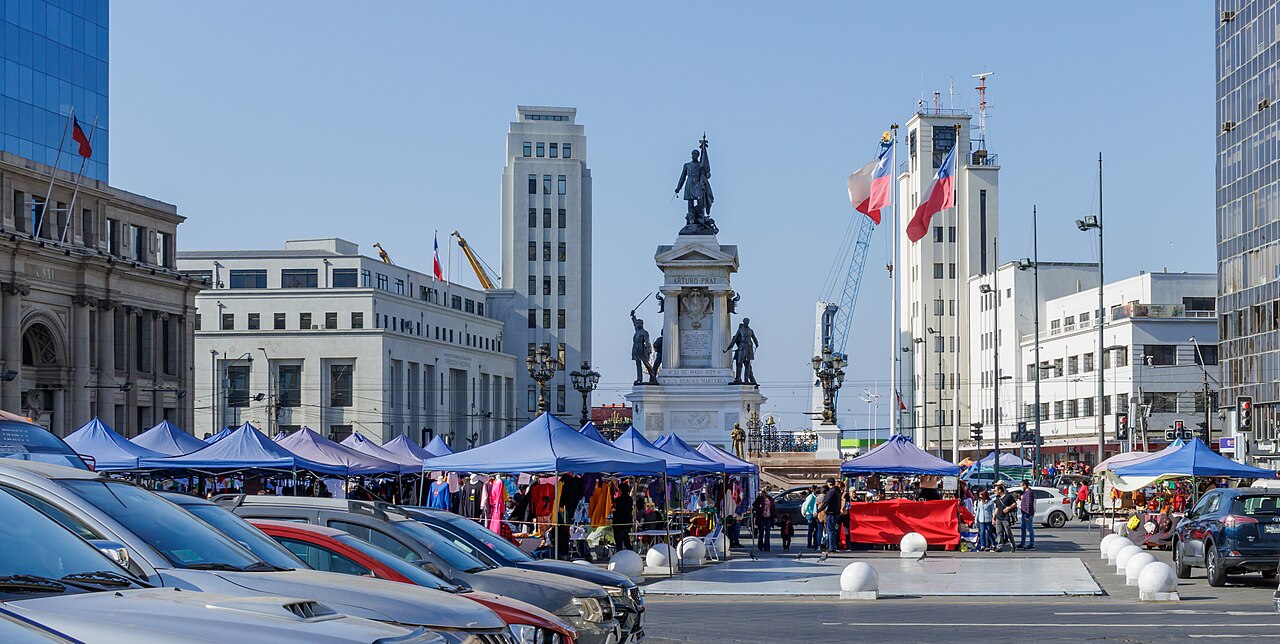
The square faces the sea on the Muelle Prat side and closes its opposite side with the old Intendencia, today the headquarters of the Armada de Chile. Around it spread the Barrio Puerto, the Estación Puerto and the access to the lifts that climb to the Cerros Alegre and Concepción.
Within a few metres the square, the station and the pier are linked, so it is easy to orient yourself: the bay marks the north of your route and the hills are at the back of the port front.
Another way to orient yourself is to treat the central monument as a reference: the square is laid out around it, with the sea towards Muelle Prat and the façade of the old Intendencia on the opposite side. The signs in the port sector help you find your bearings if you arrive along the axis of the Barrio Puerto. The square also serves as a reference for the rest of the neighbourhood: to the north lie the pier and the bay, and to the south the streets leading up to the hills. Getting your bearings here first makes it easier to move around the plan afterwards.
Map of Plaza Sotomayor in Valparaíso
FAQ
What is the address of Plaza Sotomayor?
Sotomayor, Valparaíso, Región de Valparaíso, Chile. It is on the plan of the city, opposite Muelle Prat.
What are the coordinates of Plaza Sotomayor?
Approximately −33.0385622 latitude and −71.6287555 longitude. You can open the place listing in Google Maps to see them in detail.
Is the square in the centre of Valparaíso?
It is on the plan of the Barrio Puerto, the historic civic and port core of the city, not in the hills. It is a common starting point for exploring Valparaíso.
Sources
Sources and references
This guide cross-checks its information with heritage, tourism and institutional sources. Commercial details, fares and opening hours may change: confirm them before your visit.
- Municipalidad de Valparaíso — obras anunciadas ↗
- Consejo de Monumentos Nacionales — Plaza Sotomayor ↗
- Consejo de Monumentos Nacionales — Edificio de la Intendencia ↗
- Chile Travel — Portal oficial de turismo de Chile ↗
- Armada de Chile — Ruta Patrimonial Naval ↗
- Google Maps — Ficha del lugar ↗
- Wikimedia Commons — Fotografía con licencia abierta ↗
Content checked on 29 October 2026.


