
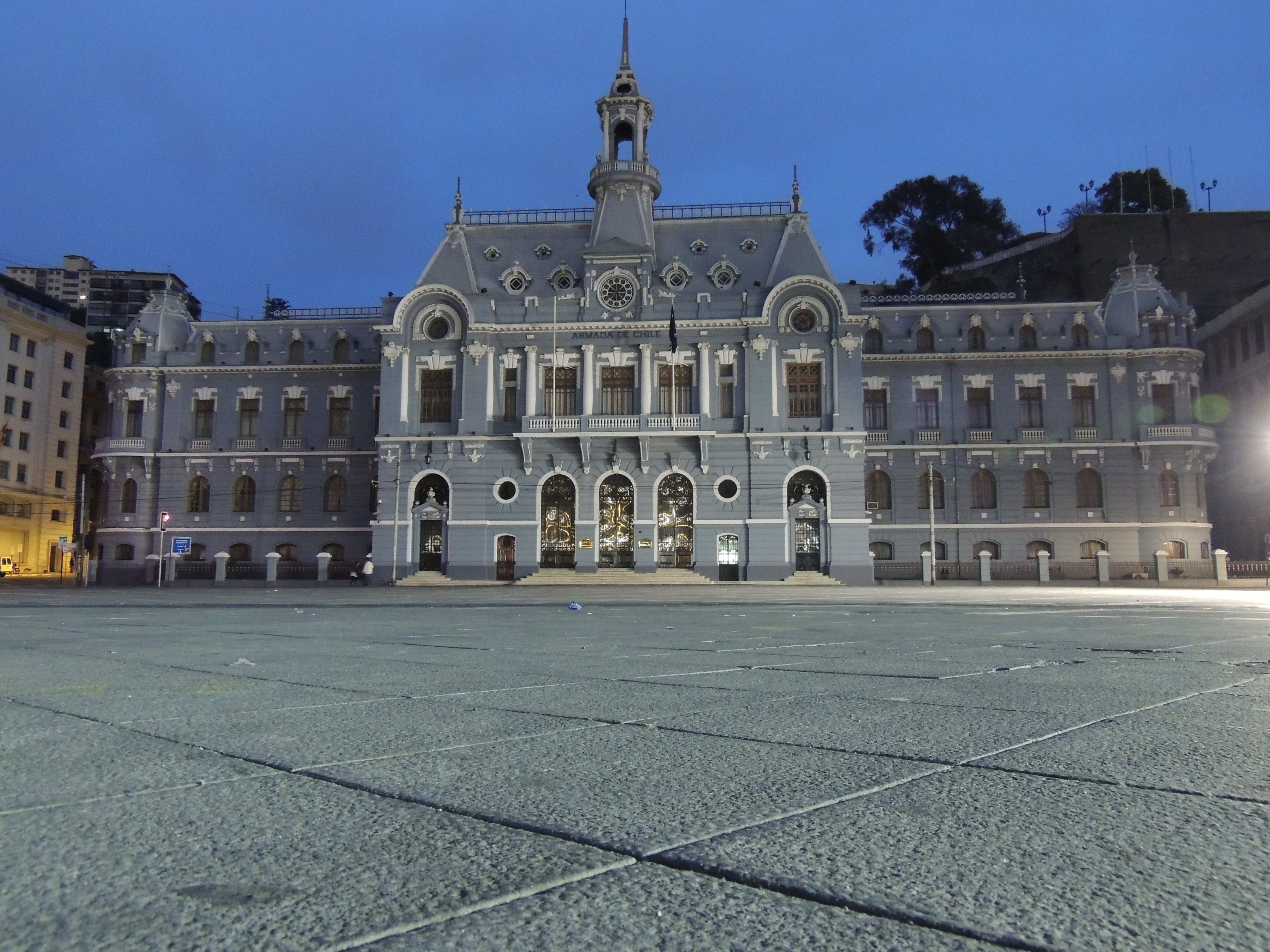
Parking in the area
No specific parking operator, nor its prices or space availability, has been verified in the immediate surroundings of the square. It is worth asking on arrival and planning alternatives.
Municipal works announcements describe limited closures of central medians and changes to pedestrian crossings, so the accesses may vary from the usual.
With no confirmed information available, a prudent alternative is to leave the vehicle on the plan and complete the route on foot or by urban transport. Checking the signs and the local restrictions avoids fines and surprises. If you do find a space to park in the area, it is worth checking the conditions of the place before leaving the car. For short visits, the public transport of the plan can prove more practical than hunting for a spot.
Driving through the plan
The plan combines narrow streets, bus traffic and slopes towards the hills. If your route includes lifts, viewpoints and hills, leaving the car and continuing on foot is usually simpler.
Comfortable footwear makes a real difference in Valparaíso: there are steep gradients and irregular pavements.
The plan is not designed for cars: there are one-way streets, bus traffic and frequent crossings. Driving slowly and anticipating pedestrian crossings helps both the visitor and the people who live in the area. Walking the plan after leaving the car is usually the most comfortable way to visit the square and the pier. The distances between them are short, so you lose little by not driving within the area.
FAQ
Is there parking next to Plaza Sotomayor?
No specific car park with confirmed rates or spaces has been verified. Ask on arrival and check the restrictions due to works.
Is it worth going by car to the square?
If your plan includes the hills and the lifts, leaving the car and continuing on foot usually simplifies the route, given how narrow the plan is and the slopes.
Sources
Sources and references
This guide cross-checks its information with heritage, tourism and institutional sources. Commercial details, fares and opening hours may change: confirm them before your visit.
- Municipalidad de Valparaíso — obras anunciadas ↗
- Consejo de Monumentos Nacionales — Plaza Sotomayor ↗
- Consejo de Monumentos Nacionales — Edificio de la Intendencia ↗
- Chile Travel — Portal oficial de turismo de Chile ↗
- Armada de Chile — Ruta Patrimonial Naval ↗
- Google Maps — Ficha del lugar ↗
- Wikimedia Commons — Fotografía con licencia abierta ↗
Content checked on 29 October 2026.


